Big Missouri Mine
Stewart, BC, Canada
Photos Below Taken By Reginald John “Reg” German
See Anyox Page for Bio and info
Big Missouri Gold Mine Photos
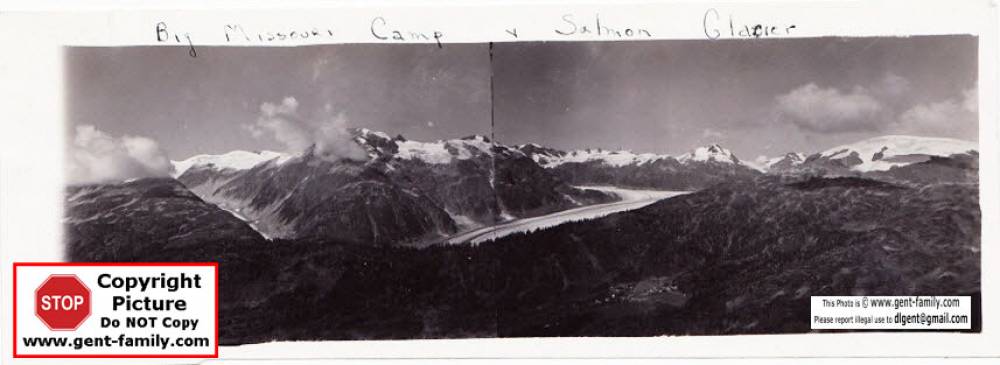
Big Missouri Camp and Salmon Glacier
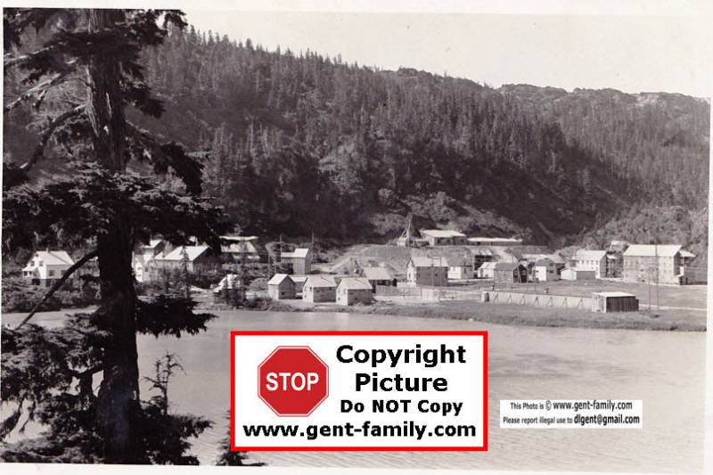
Big Missouri Camp
Photo taken from the Powerhouse area, Hog Lake in foreground
Mine Manager's house on left.
Big Missouri Claim was one of the First in the Salmon River District
It was located in 1904, by Harrison and Raerick, 2 experienced Alaskan Prospectors
It was renamed the Golden Crown.
Abandoned in Apr 1942.
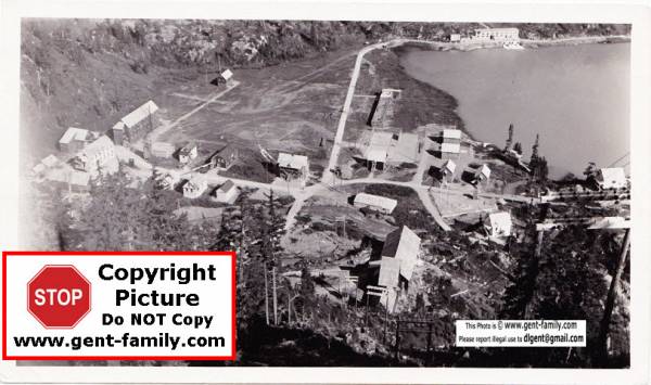
Mine Powerhouse can be seen at the top of the picture,
It produced approx 1000 KW, It was located on other side of Hog Lake
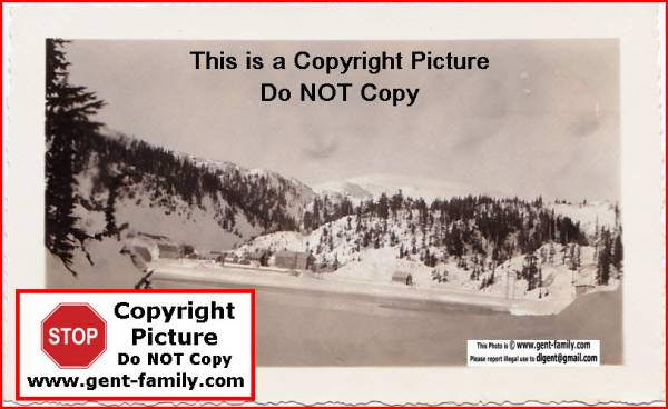
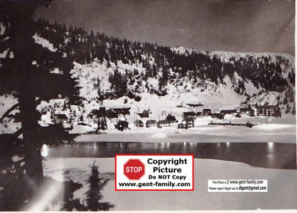
Various Views of Big Missouri Camp above
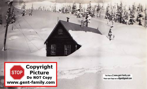
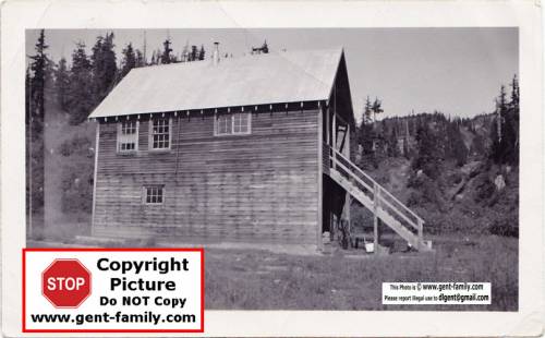
Buildings at Big Missouri
One possibly his living quarters, other his radio room
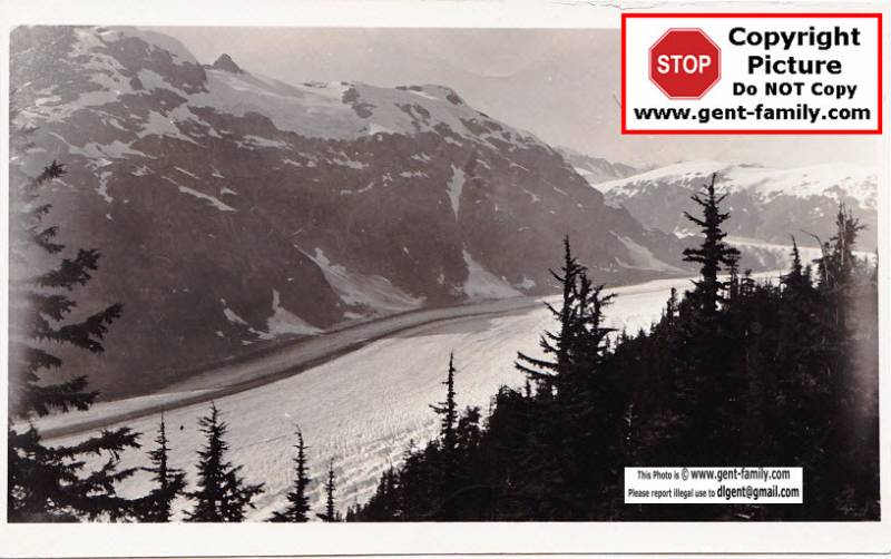
Salmon Glacier
Salmon Glacier located approx 16 miles (25km) north of Stewart BC
Lat- 56°07'00“ N, Long- 130°04'00” W
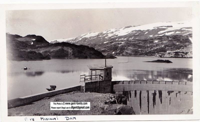
Big Missouri Mine Dam
located west side of Long Lake
built in 1937 by Cominco, demolished in the 1980's
length 30 mtrs, height 12 mtrs.
Long Lake- Lat- 56°07'07“ N, Long-129°59'34” W West of American Creek and South of Divide Lake, in the Cassiar Land District
