Taylorton- Map Page
Taylorton, Saskatchewan, Canada

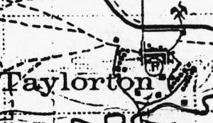
Taylorton 1927
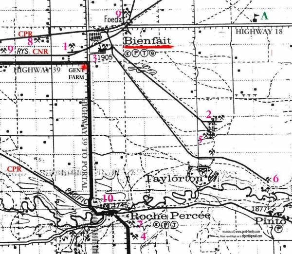
See larger map below for exact location of this enlarged map

Part of My Dad's 1927 Map showing location of Taylorton up on the flat prairie
Key:
The P and T in the circles stands for Post Office and Telegraph Office respectively
The little E in the circle indicates an elevator in the town
The little G in the circle stands for a Garage in the town
The number 1905 under Bienfait is the elevation in feet above sea level
Dash Line — indicates road
Small thin solid line is a Railroad
Heavy solid line is a Highway
Little crossed pick and shovel symbols are Coalmine locations
I have numbered these Coal Mines, and will try and name each mine eventually
1. The Eastern Mine
2. M&S (Manitoba and Saskatchewan)
3. Kingdon Mine (I think)
4.
5. M&S also?
6.
7.
8.
9.
10.
A= Lignite School
One of the students here was Olga Kingdon
They had a ceremony a few years ago to raise a cairn in the yard where this school stood.
A small book was written on it's history for the occasion
